

Why Region Matters When Choosing a Road Trip Route
Picking a road trip route isn't just about distance - it's about matching the landscape, climate, and pace of a region to what you actually want from the trip. The US divides naturally into road trip corridors with distinct geographic personalities, and understanding those differences saves you from booking a 1,400-mile desert drive when you were hoping for mountain overlooks.
Before you map a single mile, it helps to know what each region broadly offers in terms of terrain, driving conditions, and the kinds of stops you'll encounter. For a broader look at coordinating your itinerary once you've chosen a region, see this end-to-end logistics framework.
The West Coast: Ocean, Forest, and Elevation Change
The Pacific Coast Highway (California State Route 1) is one of the most recognizable road trip corridors in the country, running along cliffs above the Pacific from Southern California northward. The route combines coastal scenery with sharp elevation changes - expect fog, winding two-lane stretches, and limited passing lanes through Big Sur. Further north, the Oregon and Washington coasts offer similar dramatic geography but with more rainfall and a noticeably quieter tourism footprint.
Inland options in the West shift dramatically: the Cascade Range offers volcanic peaks and dense conifer forest, while Nevada and eastern Oregon open into vast high-desert flats with very few services between stops. Fuel planning is genuinely important on remote western routes - gaps of 80-100 miles between gas stations are common in rural Nevada and parts of the Great Basin.
The Southwest: Desert Routes and Geological Scale
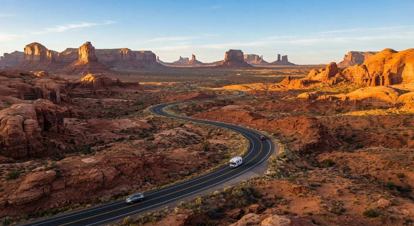
The Southwest is defined by geological extremes - the Grand Canyon, Monument Valley, Zion, and Bryce Canyon are all within range of routes crossing Utah and Arizona. Temperatures in summer can exceed 110°F in canyon country, which affects not just comfort but vehicle performance; early morning starts and late-afternoon stops are practical habits on desert itineraries.
US Route 89 and US Route 191 are working spines through this region, connecting national park clusters. The Southwest is also home to Route 66, the historic corridor from Chicago to Santa Monica that passes through New Mexico and Arizona. Much of Route 66 runs parallel to I-40 and is navigable, though some sections require detours or have road-quality variations worth researching before departure.
Seasonal Closures in Canyon Country
Several roads in Utah and Arizona - including sections of the North Rim access road at Grand Canyon - close seasonally, typically between mid-October and mid-May. Always check National Park Service road status pages before finalizing a Southwest itinerary. Weather-related closures can happen outside the standard window as well.
The South and Southeast: History, Coast, and Appalachian Highlands
The Blue Ridge Parkway - running roughly 469 miles from Virginia's Shenandoah National Park to Great Smoky Mountains National Park in North Carolina - is one of the most visited road corridors in the National Park System. It's a designated scenic byway with a 45 mph speed limit, designed for unhurried travel through forested ridgelines and valley overlooks. Fall foliage typically peaks between mid-October and early November across the route's northern sections, though exact timing varies year to year.
Further south, the Gulf Coast corridor (roughly US-90 from Louisiana through coastal Mississippi and Alabama) offers a flatter, water-adjacent drive through smaller cities with distinct regional food cultures. Underrated US cities along the Gulf and inland South are worth factoring into any southeastern route plan.
The Midwest and Great Plains: Long Distances, Open Horizons
Midwest and Great Plains routes trade dramatic scenery for a different kind of road trip appeal: genuine solitude, low traffic, and a sense of geographic scale that's hard to find on coasts. The Sandhills of Nebraska, the Flint Hills Scenic Byway in Kansas, and the Upper Peninsula of Michigan each offer distinct regional character without the crowds of more iconic corridors.
Driving distances between points of interest are longer here, so fuel, food, and overnight stop planning requires more attention. If you're building a budget around this kind of route, the core concepts in trip budgeting from the ground up apply directly - particularly cost-per-mile fuel estimates and rural lodging variability.
Note: Road conditions, fuel availability, and seasonal closures vary significantly by route and time of year. Always verify current conditions through official state DOT resources and the National Park Service before departure.